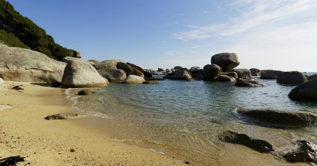
Fishing, diving, hiking: show the spot without giving it away
A tour by link or with a code, location hidden on the map: only the people you choose see the place.
What you will use it for
- A tour by link only, or with a code (PRO)
- The location hidden: no map, no address
- Information points: depth, access, tide
What to photograph
One 360° photo per space or per view. Start with “Viewpoint”: that is where the tour opens. The editor suggests space names in one click (in French for now), and you can type your own.
- Viewpoint
- Beach
- Lagoon
- Trail
- Waterfall
- Summit
- Motu (islet)